As a photographer, I find the best angles by thinking of a mosquito. Every point in space belongs to it. My drone, however, corresponds more to the perspective of a bird of prey when hunting. And nosedives should be avoided.
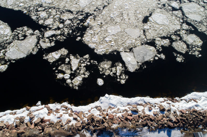
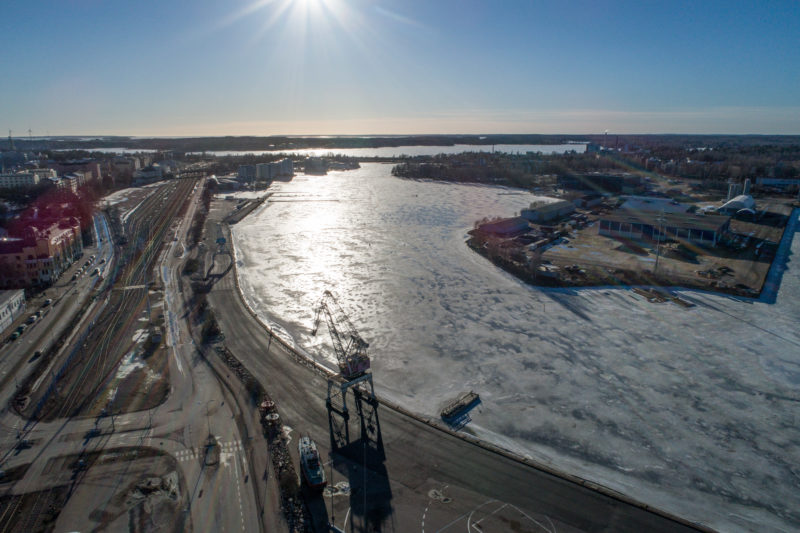
Vertical drone shot at the Finnish Baltic Sea coast in winter.
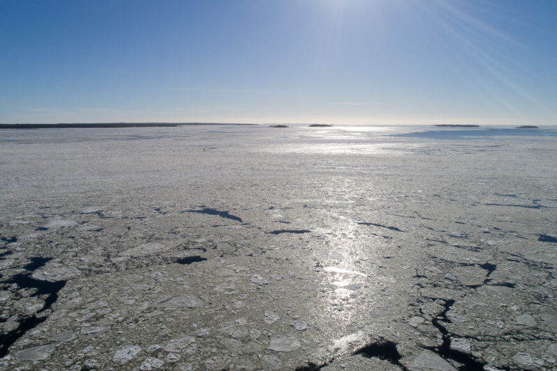
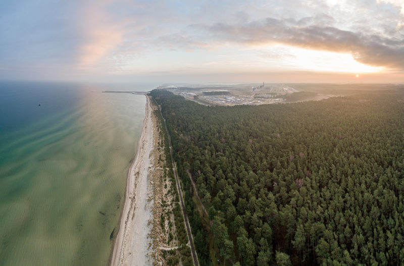
Icy Baltic Sea off Finland photographed with a drone.
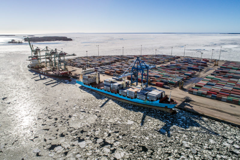
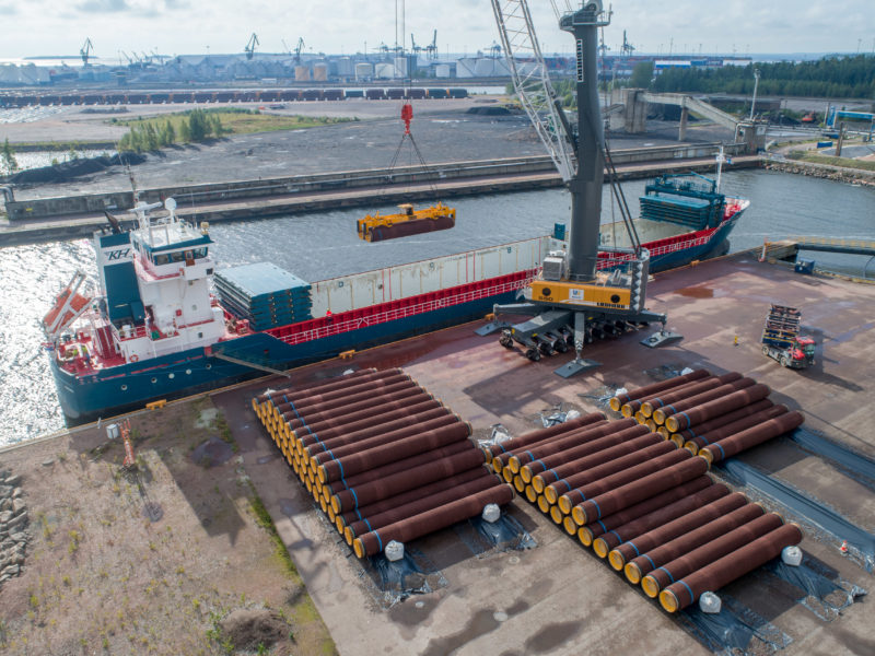
An icy Finnish container port with two cargo ships.
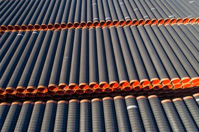
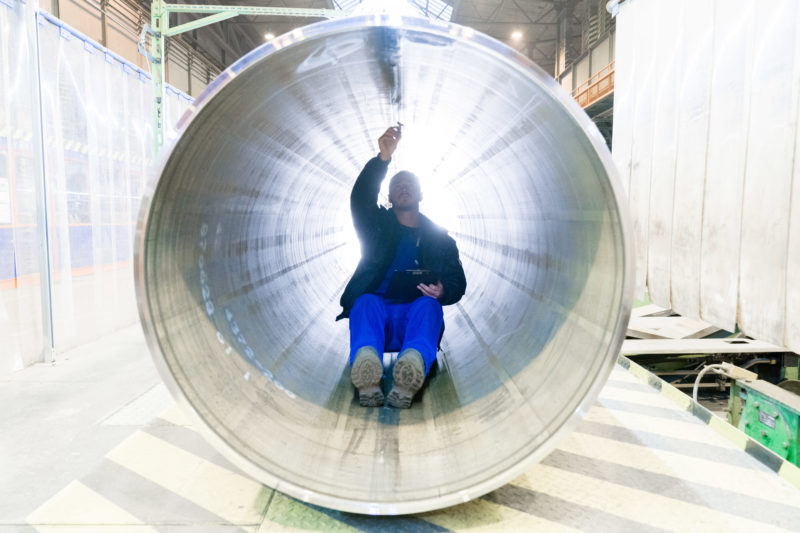
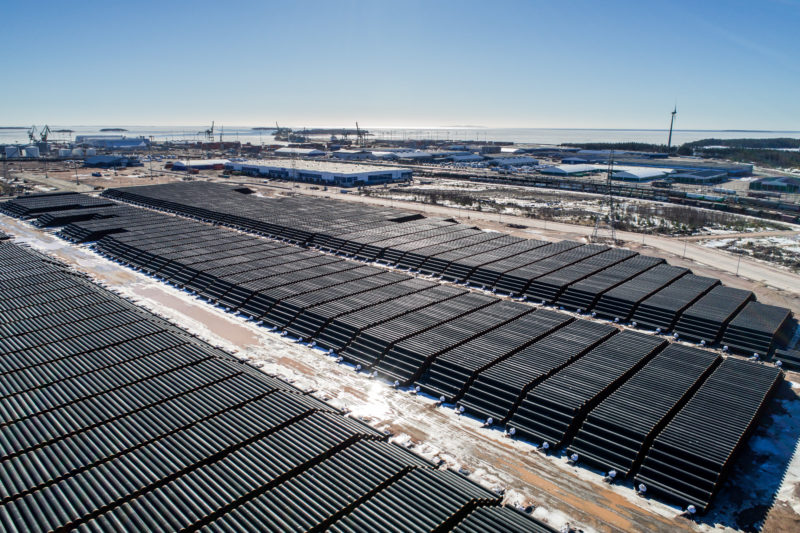
Pipes for a pipeline in a large outdoor storage facility.
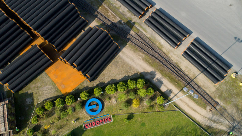
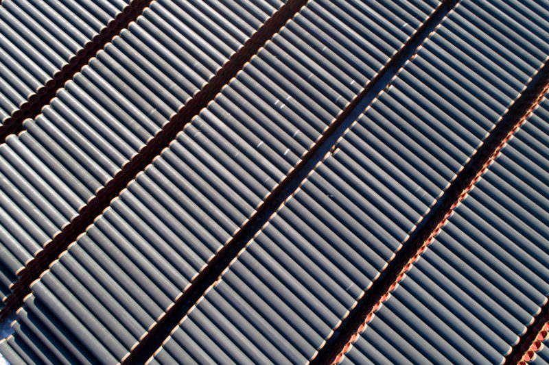
Vertical view from above of stored pipes.
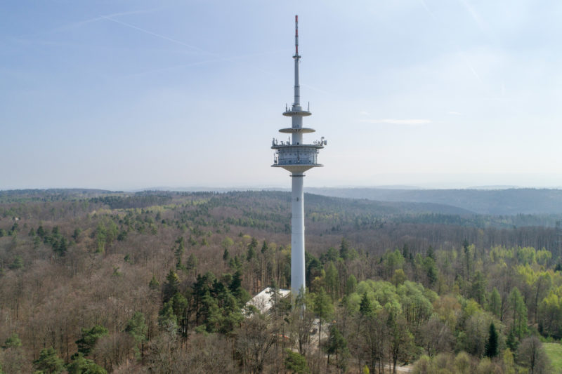
A radio tower in the wooded landscape.
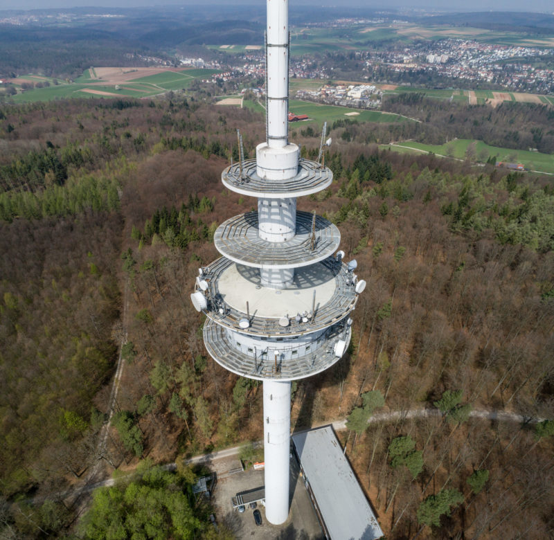
A radio tower in the forest.
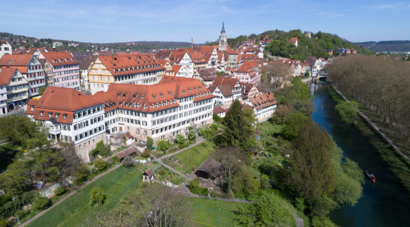
View of the old town of Tübingen with the Neckar.
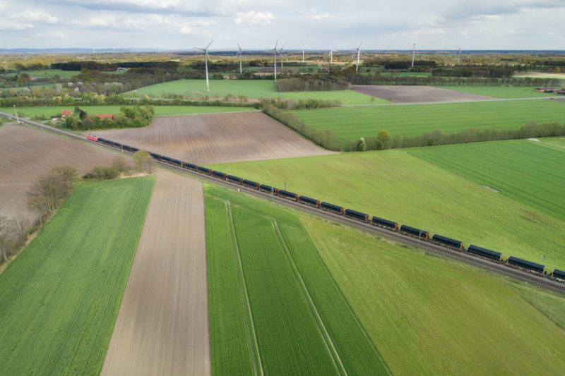
A freight train transports pipeline pipes right across Germany.
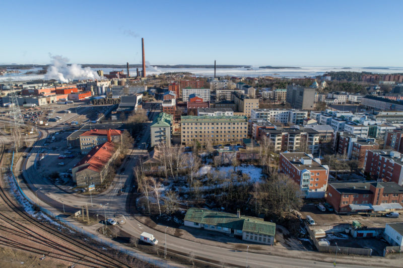
Drone shot in panorama technique.
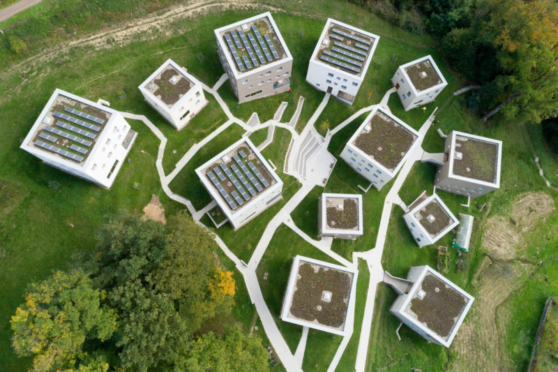
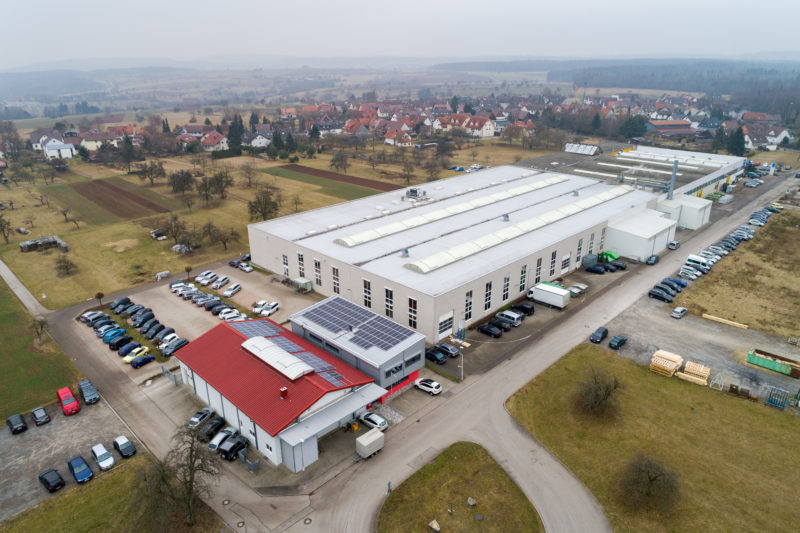
View of a collection of modern houses from above.
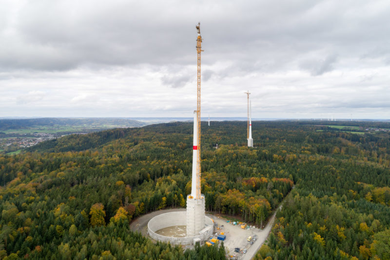
Drone photo of a construction site for wind turbines.
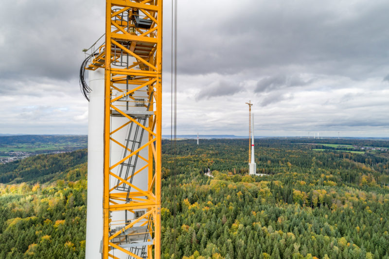
Tip of the tower of a wind turbine which is in the shell of the building.
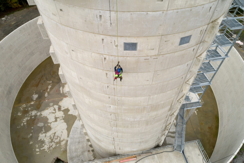
An industrial climber abseils down.
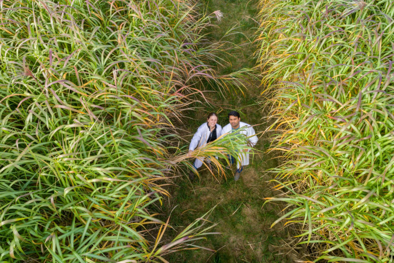
Two scientists in a Miscanthus plantation.
Field study of high-yielding energy producing plants.
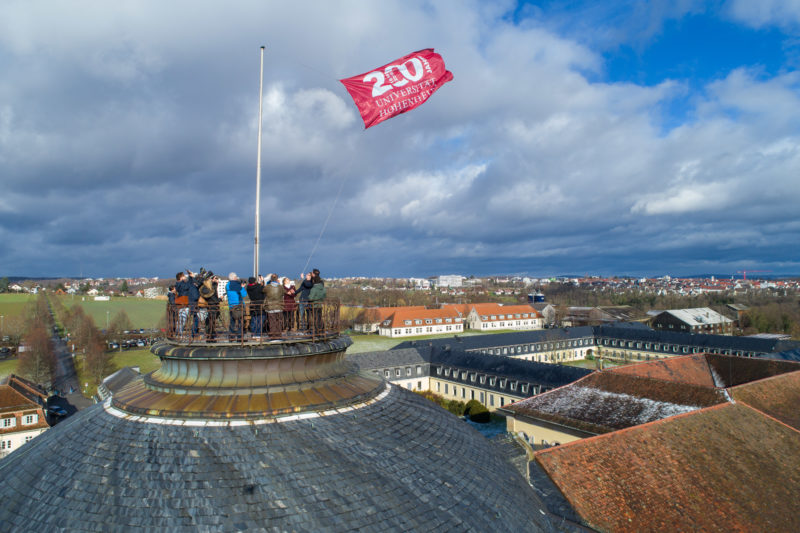
The anniversary flag will be hoisted on the roof of the castle at the University of Hohenheim.
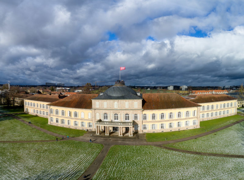
The castle of the University of Hohenheim.
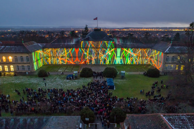
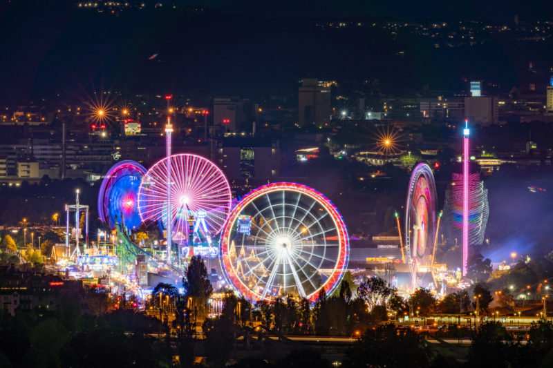
Night shot of a light show
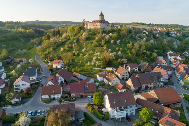
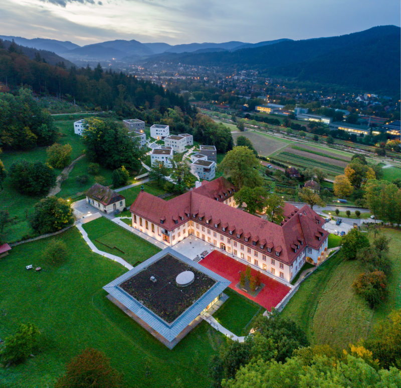
Reichenberg Castle near Oppenweiler in the evening sunlight.
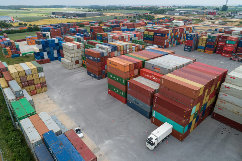
A white truck in a test of a positioning system
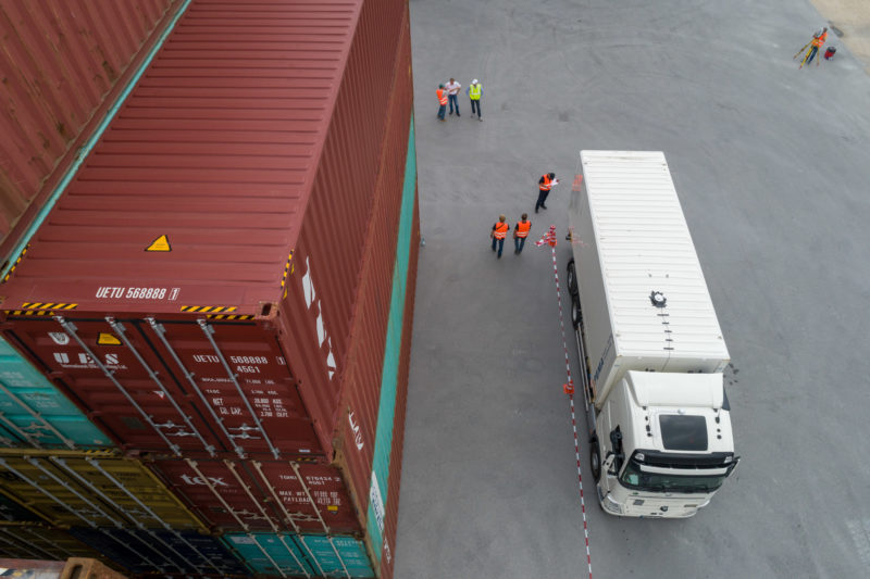
Truck with positioning system in a container warehouse.
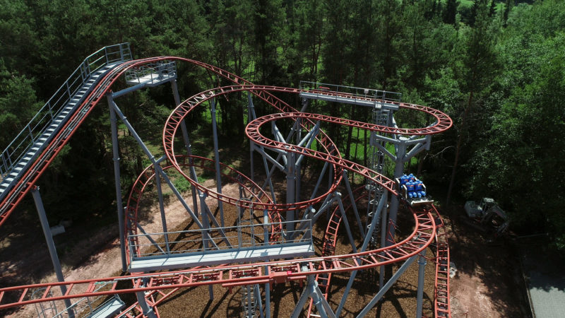
A small roller coaster in test operation.
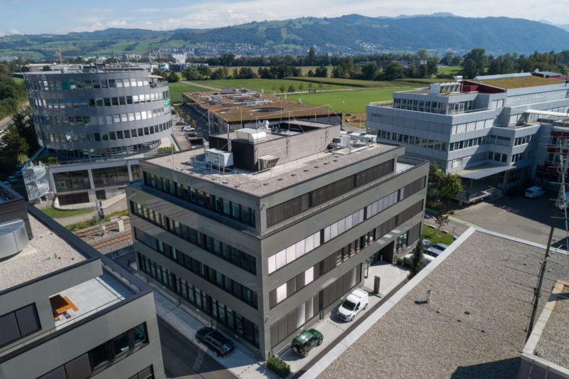
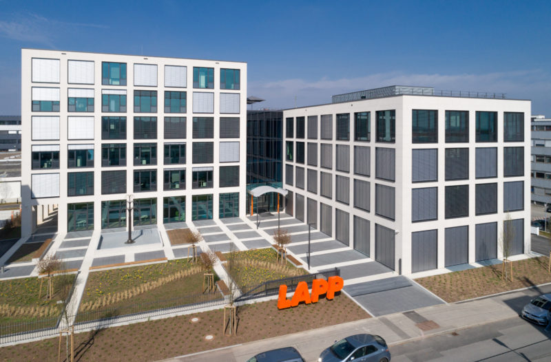
A new office building.
Clients: Deutsche Telekom AG, Eberhard Karls Universität Tübingen, Lapp Kabel, Nord Stream 2, Robert Bosch GmbH, Universität Hohenheim and more.